Garfield County Emergency Communications Authority
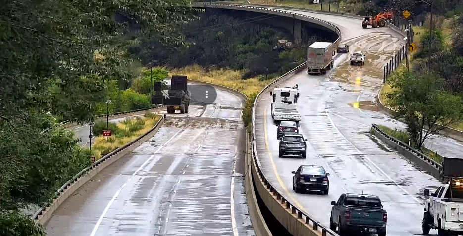
4.4.25, 6:09 am: I-70 is open at 116 eastbound, main Glenwood Springs exit.
Colorado Department of Transportation
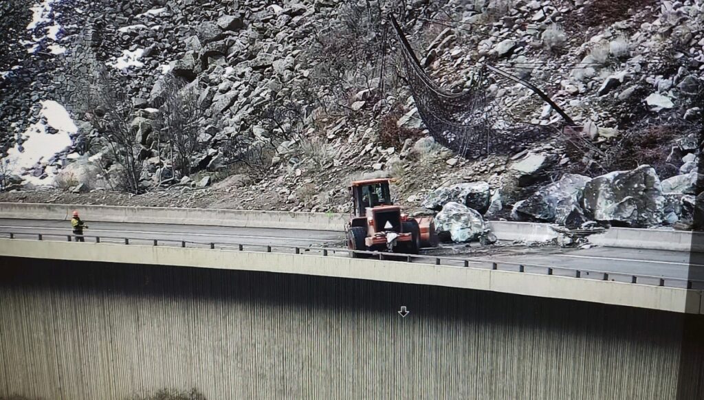
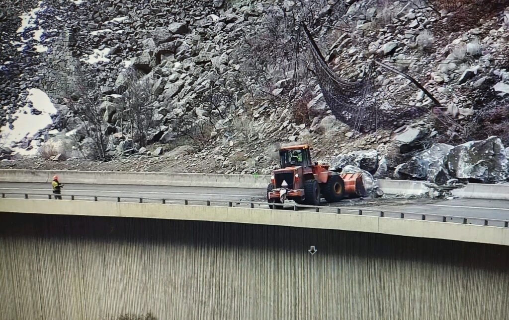
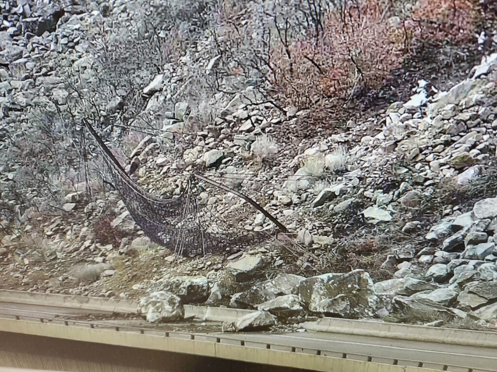
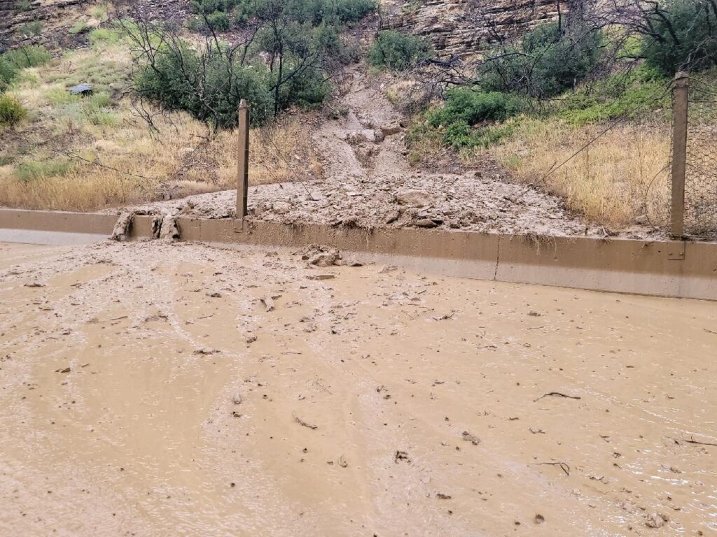
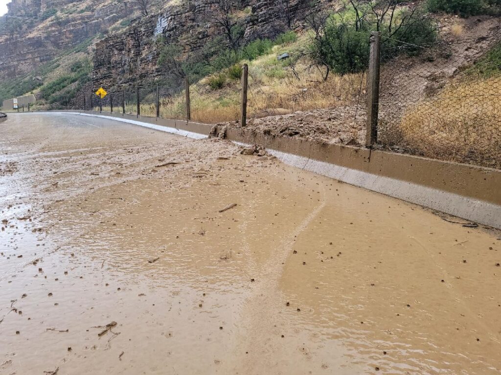
4.3.25, 11:13 pm: Between Exit 114: West Glenwood (Glenwood Springs) and Exit 129: Bair Ranch (6 miles west of Dotsero) from Mile Point 116 to Mile Point 126.5. Road closed – expect delays due to a rock slide.
Comment: This will be an extended closure.
4.3.25, 10:25 pm: Between Exit 114: West Glenwood (Glenwood Springs) and Exit 129: Bair Ranch (6 miles west of Dotsero) from Mile Point 116 to Mile Point 126.5. Road closed – expect delays due to a rock slide. CDOT will post updates at cotrip.org.
Garfield County Emergency Communications Authority
4.3.25, 10:10 pm: I-70 is closed at mile marker 116 eastbound, Glenwood Springs, due to a rock slide in Glenwood Canyon.